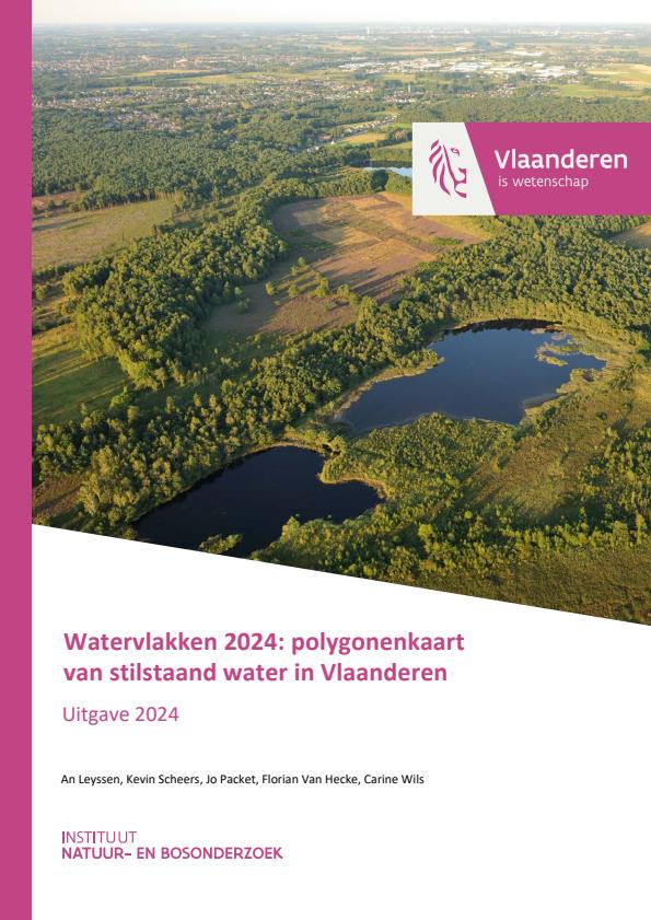
Watervlakken 2024: polygonenkaart van stilstaand water in Vlaanderen. Uitgave 2024.
Details
| Number of pages | 21 |
|---|---|
| Type | Reports of Research Institute for Nature and Forest |
| Category | Research |
| Language | Dutch |
Bibtex
@misc{6cfd4cad-f760-4b23-b0a9-2eb58d026f4d,
title = "Watervlakken 2024: polygonenkaart van stilstaand water in Vlaanderen. Uitgave 2024.",
abstract = "Both for internal and external use, INBO has prepared a polygon file with the water surfaces in Flanders. This file is continuously updated. Every two years a version is published externally via GeoPunt. The file provides an up-to-date picture of the distribution and shape of water surfaces (excluding watercourses) in Flanders and the possibility to refer to each element of it in an unambiguous way.
",
author = "An Leyssen and Kevin Scheers and Jo Packet and Florian Van Hecke and Carine Wils",
year = "2024",
month = jan,
day = "01",
doi = "https://doi.org/10.21436/inbor.114075267",
language = "English",
publisher = "Instituut voor Natuur- en Bosonderzoek",
address = "Belgium,
type = "Other"
}

